Hey everyone! TM here from EarthScene. So I’ve been diving deep into different mapping platforms for our Earth Data Utilize project, and today I want to share what I learned about Google Maps. It’s pretty wild how something we use every day has such a cool history!
How Google Maps Started (2004-2006)
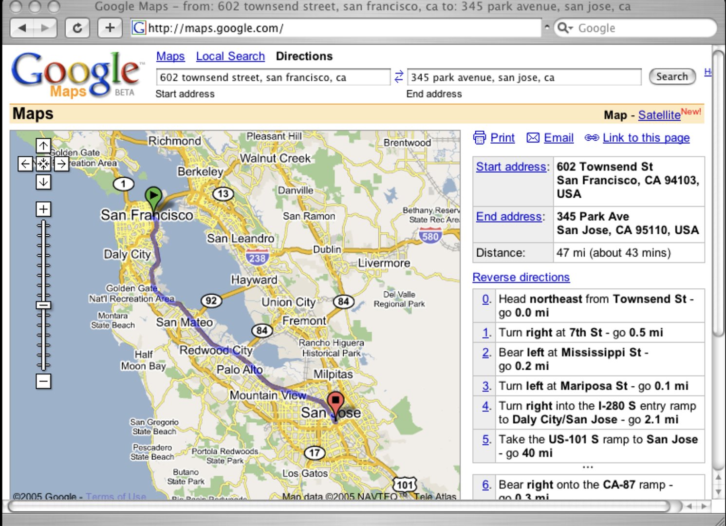
OK so Google Maps didn’t actually start at Google! It began as a desktop program made by these Danish brothers, Lars and Jens Rasmussen, who had a company called Where 2 Technologies. Google bought their company in October 2004, and then launched Google Maps as a web app in February 2005.
The first version already had the draggable maps we’re used to, plus satellite images and business searches. But what was super important for developers like us was when they released the Google Maps API in June 2005. That’s what let other websites start embedding Google Maps!
https://x.com/googlemaps/status/1887551744974135758
Growing and Getting Better (2007-2012)
This is when Google Maps started adding all the cool features we take for granted now:
- 2007: They launched Street View in some US cities (now it’s almost everywhere!)
- 2008: Google Maps for phones with GPS navigation
- 2009: Turn-by-turn directions for Android (so clutch for not getting lost)
- 2011: Indoor maps for big places like malls
- 2012: 3D modeling for cities
During this time, Google was also sending out those Street View cars we’ve all seen to capture images of streets all over the world. That’s how they got such accurate map data!
Becoming Essential (2013-2018)
This is when Google Maps got serious and became the powerhouse it is today:
- 2013: They completely redesigned the app with personalized maps
- 2014: Google bought Waze for $1.3 billion! That’s how they got all that real-time traffic data
- 2016: They added more business info and made offline maps better (super useful when you don’t have signal)
- 2018: They launched Google Maps Platform with a bunch of APIs for developers
In 2018, they also changed their business model. Before, commercial users could use the API mostly for free, but then they switched to charging based on usage. This was a big deal for developers and startups!
Recent Cool Stuff (2019-Now)
The latest updates to Google Maps are all about AR (augmented reality), environmental features, and personalization:
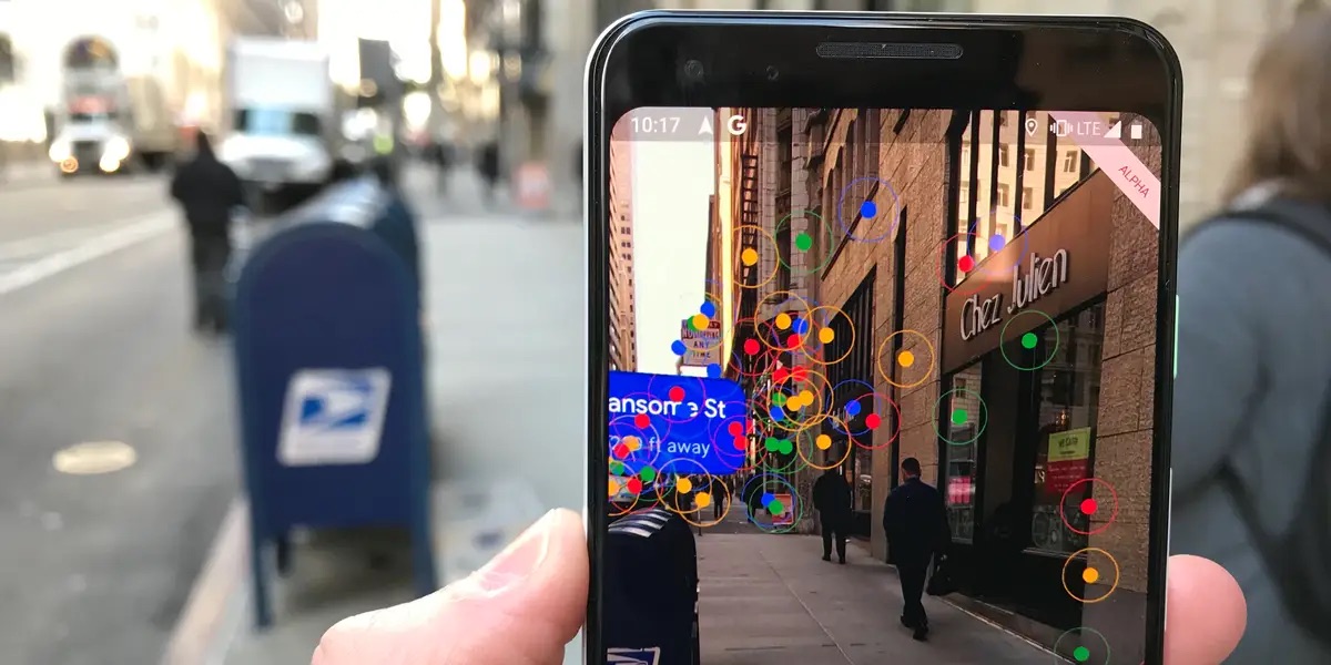
- 2019: Live View came out – that AR navigation that shows arrows on your camera view
- 2020: New logo and design for their 15th birthday
- 2021: Eco-friendly routing to save fuel and reduce emissions
- 2022: Immersive view that combines Street View with aerial images
- 2023: AI features for better local recommendations
- 2024: More AR stuff and sustainability features
How Google Makes Money from Maps
For our EarthScene platform, understanding Google’s business model is super important. Here’s how they make money from Maps:
- Ads: Businesses pay to show up at the top of search results in Maps
- Google Maps Platform: Charging developers and companies for using the API
- Data collection: They use Maps data to improve their ad targeting
- Android ecosystem: Maps makes Android phones more valuable
Google Maps Today: The Numbers
The scale of Google Maps today is insane:
- Over 1 billion monthly active users (that’s like 1/8 of the world’s population!)
- Covers about 98% of the inhabited world
- Has data from more than 220 countries and territories
- Processes over 25 million updates every day
- Features more than 200 million businesses and places
What This Means for EarthScene
Learning about Google Maps’ history and business model has given me tons of ideas for our EarthScene platform. We definitely need to think about:
- How we can use existing map APIs vs. building our own solutions
- The importance of user contributions and feedback
- Finding our unique angle in the Earth data space
- Building a sustainable business model that doesn’t just rely on API fees
Next up in my research, I’ll be looking at more specialized Earth data platforms and seeing what we can learn from them. Stay tuned!
What mapping platforms do you use the most? Drop a comment below and let me know what features you think are essential for an Earth data platform!
– TM, Founder of EarthScene
Posted on March 4, 2025